
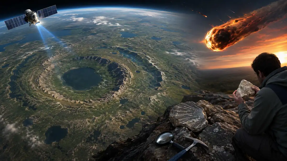
This Google Maps meteorite discovery may start in an unusual way. An amateur astronomer named Joël Lapointe was scrolling through Google Maps. It was a simple task because he only wanted to find the best camping spot in Quebec. However, just a few clicks, and he accidentally found the crater on the Google map. He found a circular hole in the ground. It is almost 25 km stretched from one end to the other. It looked like an immense ring that could barely surround the Lake Marsal. At first, Lapointe thought scientists must have already discovered it because it was too old to be unregistered. However, scientists proved him wrong as they discovered something big.
The weird formation found in the Google map is the 390 million-year-old meteorite crater. The crater was discovered in the far north of the Cote Nord of Quebec. The hole in the ground is surrounded by huge rocks. Experts believe that this hole was created due to a massive meteorite explosion. According to them, this Google Maps meteorite discovery is one of the only 200 confirmed impact craters in the entire world. Lapointe’s adventure led to the Google maps meteorite discovery.
Scientists Were Skeptical — Until They Found the Evidence

Scientists were initially doubted the idea because they could not find any proof that the round mark was an impact crater. Then the Google Maps meteorite discovery reached to a fellow scientist and Professor “Gordon Osinski” in the Department of Earth Sciences at Western University in London, Ontario. Osinski is the director of Impact Earth, a database that compiles all the confirmed meteorite craters in the world. Therefore, when he first heard about the mysterious mark on the Google Maps, he did not believe that it was an impact crater. The reason for this was that previously, Osinski and his colleagues were not able to find new craters, which became a problem for him. However, Osinski and his team finally managed to come to a conclusion that proved his hypothesis wrong. Gordon Osinski organized an expedition with a team of his colleagues Jerome Gattacceca, a geology researcher at the European Centre for Research and Teaching in Environmental Geosciences in France, and Anthony Lagain and Yoann Quesne.
The four of them went to the remote area of Quebec, where the round mark was spotted. To reach the location of the Google Maps meteorite discovery was not an easy task for Osinski and his colleagues. It took them a lot of effort to get to such a remote place in the middle of the wilderness. Osinski, who previously participated in twenty-five expeditions to the Arctic Circle and conducted research on six continents in search of meteor craters, described this journey as challenging. On the second day of their expedition, Osinski and his colleagues arrived at the Google maps meteorite discovery site. The ground where the Google Maps “meteorite” was located had signs of high-energy impact from space. As a result, the round mark found on the Google Maps was actually caused by the impact of an object from space.
The Evidence That Confirmed the Google Maps Meteorite Discovery

A round mark on a map is not enough proof that a meteorite hit the ground there. Scientists need to find certain geological evidence that can confirm that this mark is indeed a crater of a meteorite that hit the ground millions of years ago. The research team at the Quebec location found two types of evidence that proved this Google maps meteorite discovery true.
Shatter Cones
Shatter cones are odd shaped formations found in rocks that were subject to powerful impact shocks. These shocks are caused when a meteorite crashes into the earth at very high speeds, exerting powerful pressure on the rocks near the impact site, causing unique conical fractures called Shatter cones. The direction and the shape of these features help scientists to determine the impact site of the meteorite. Shatter cones are uniquely connected to very high pressure impacts, which make them one of the strongest indicators of an impact crater.
Scientists have found shatter cones in the Quebec location, which provided very strong evidence that the round mark on the map was indeed a meteorite crater.
Impact Melt Rock
On top of finding shatter cones, scientists also found impact melt rock. This type of rock is formed when the pressure and the heat of the meteorite impact melt the rock on the ground. The melted rock then solidifies into a unique type of rock called impact melt rock. This type of rock is a sure sign of a meteorite impact, as it cannot be naturally formed in any other way. Finding this type of rock in the Quebec location provided scientists with very strong evidence that the location indeed used to be an impact site.
These two pieces of evidence helped scientists to confirm the Google maps meteorite discovery. Scientists were able to confirm that the round mark on the map was a crater formed around 390 million years ago. This discovery was especially impressive as the crater went unnoticed for an extremely long time, and was even discovered by a casual stargazer browsing through Google Maps. The new crater has also been given a local name, Uhackatik Crater, with permission from the Innu Council of Ekuanitshit.
What 390 Million Years Ago Actually Looks Like
The Uhackatik crater, formed “390 million years ago.” This time period is significantly long, as humans only appeared many years after the formation of the Earth. During this period, the Earth looked significantly different than it does today, as the Devonian period did not yet have any dinosaurs, as they were only going to appear “150 million years later.” Furthermore, there were no mammals or birds, and only primitive amphibians were the ones to start inhabiting the land. “Life on earth was just beginning to evolve,” said Lapointe. The Google Maps meteorite discovery has given a rare opportunity to go back and explore a big crater formed in an era completely different from anything humans have seen on earth.
After a while, a huge meteor hit the area, forming a large 25 km crater. The crater of such a large size could be formed by a meteorite that caused massive damage to the area as it split the ground into halves and crushed all the rocks and debris that were at the site of the collision. However, for the next 390 million years, the crater was left alone. Soon after the impact, Lake Marsal was formed in one of the craters, and the ring was still left for humans to spot using the Google maps. Soon after that, a high-tech satellite imaging allowed for spotting a large ring-shaped land, and thus the Google maps meteorite discovery was made.
Conclusion
The Google Maps meteorite discovery began with a man doing a simple task on Google maps for his upcoming camping adventure. However, this seemingly trivial action later led to the finding of a crater formed around 390 million years ago. This crater has been on the planet weathering the test of time for hundreds of millions of years, seeing the planet transform drastically around it. While it had survived all these changes, the crater was forgotten and undiscovered until an anomaly spotted by Joël Lapointe on a satellite image brought it into the light once again.
It is also interesting to note the Google Maps meteorite discovery and how it had failed to be discovered for so long, despite being there all along.
Follow Science Scope Hub for more discoveries and space mysteries.
Pingback: How Scientists Confirmed Uhackatik Crater: The Astonishing Evidence Behind a 390-Million-Year-Old Meteorite Impact